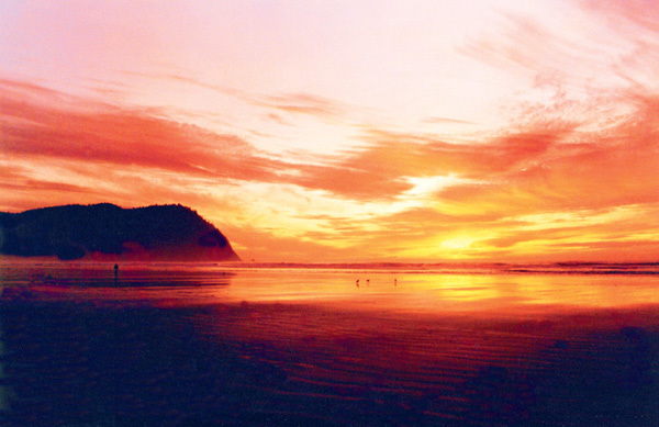
Despite the diverse and dramatic scenery that's revealed along Oregon’s two major interstates, you simply can't appreciate Oregon from the fast lane of the freeway. So take a few hours (or a few days) and explore some of the roads less traveled. Three of Oregon's Scenic Byways have been honored as All-American Roads, placing them among a handful of the most treasured routes in the country. Five others have been designated National Scenic Byways for their outstanding qualities. These and four more Oregon Scenic Byways are clearly marked with signs along the routes. Many of the byways and tour routes travel through remote areas where gas stations are few and far between, so "fill'er up" when you have the chance. Since road and weather conditions can be hazardous, especially at higher elevations, call for up-to-date information before starting out: 800-977-6368 or 541-889-3999.
Oregon’s All-American Roads are the Historic Columbia River Highway Scenic Byway, referred to as the “King of Roads” and the Hells Canyon Scenic Byway, which flows past a mile-deep gorge and two-mile-high mountains. The Volcanic Legacy Scenic Byway is highlighted by Crater Lake National Park, wildlife, geology and dramatic scenery. It begins at Diamond Lake Junction, halfway between Bend and Klamath Falls on U. S. Route 97. Here, Oregon Route 138 climbs to the north entrance of Crater Lake National Park. Because of snow, this entrance is usually only open from June through October. The road ascends through a pumice moonscape created by the massive eruption of Mt. Mazama about 7,700 years ago. The eruption left a six-mile-wide caldera, which now cradles the deepest lake in the U.S. The lake's vast depth and world-record clarity give it a remarkable blueness that is one of the most awe-inspiring natural sights in the world. The 33-mile rim drive takes in the full spectacle and provides access to the lake via the Cleetwood Trail, a side trip to the Pinnacles near the south rim and breathtaking views in all directions. The Rim Village Visitors Center is open all year, making a great starting point for wintertime cross-country skiing and snowshoeing adventures. Exit the park through the south entrance and turn left on Oregon Route 62.
The "Crater Lake Highway" follows Annie Creek through peaceful pastures to Fort Klamath. The tour continues on Weed Road to Sevenmile Road west, then follows West Side Road through the Winema National Forest. You'll pass Upper Klamath National Wildlife Refuge and Upper Klamath Lake. Covering 133 square miles, the lake is Oregon's largest body of fresh water, filling a basin created when the earth's crust dropped along fault lines on both sides. Situated in the heart of the Pacific Flyway, the area sustains over 430 species of resident and migratory birds, including bald eagles, sandhill cranes and pelicans. Several campgrounds and resorts with marinas invite you to relax, canoe, fish or golf in the shadow of the Southern Oregon Cascades. West Side Road connects with Oregon Route 140 at Rocky Point. Howard Bay is a common place to see nesting pelicans, blue herons and snow geese. The southern half of the lake is home to bald eagles all year round. The Byway continues south as Oregon Route 140 meets U. S. Route 97 two miles south of downtown Klamath Falls. After passing through cropland along the Klamath River, you'll travel by the Klamath Wildlife Area and the Bear Valley National Wildlife Refuge. This segment of the Byway ends at the Francis S. Landrum Historic Wayside, which commemorates the Applegate Emigrant Trail, the southern arm of the Oregon Trail. For more information, contact the Klamath County Department of Tourism at 800-445-6728 or 541-884-0666.
Oregon’s National Scenic Byways are the Pacific Coast, McKenzie Pass/Santiam Pass, Cascade Lakes, Outback and West Cascades Scenic Byways. State designated Scenic Byways are known as the Rogue-Umpqua, Journey Through Time, Blue Mountains and Elkhorn Drive Scenic Byways.
